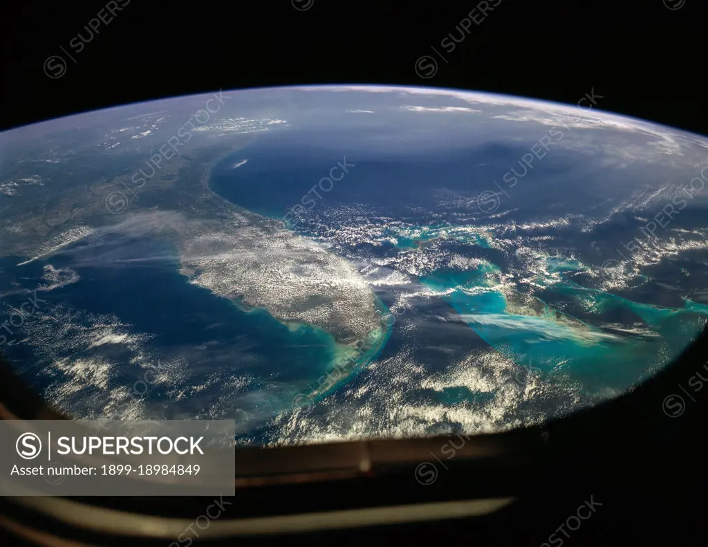
(26 April 1990) --- The Florida peninsula and smog over the northeastern U.S. coast are featured in this image photographed by a Space Shuttle Discovery crewmember during STS-31 mission. According to scientists, a mass of aerosol haze stretches across the top of the entire view. Meteorological, visibility and sulfate-content data showed that the haze was indeed industrial smog haze, rather than cloud. The air mass was transported west to east (left to right) around the north limb of a high pressure cell. It moved offshore for at least 1500 kilometers reaching the Atlantic islands of Bermuda. The leading edge of the haze mass can be detected far to the south, near the Bahamas--indicating that aerosols from the industrial Northeast were transported around the high, back directly toward the large population centers of Florida..
SuperStock offers millions of photos, videos, and stock assets to creatives around the world. This image of (26 April 1990) --- The Florida peninsula and smog over the northeastern U.S. coast are featured in this image photographed by a Space Shuttle Discovery crewmember during STS-31 mission. According to scientists, a mass of aerosol haze stretches across the top of the entire view. Meteorological, visibility and sulfate-content data showed that the haze was indeed industrial smog haze, rather than cloud. The air mass was transported west to east (left to right) around the north limb of a high pressure cell. It moved offshore for at least 1500 kilometers reaching the Atlantic islands of Bermuda. The leading edge of the haze mass can be detected far to the south, near the Bahamas--indicating that aerosols from the industrial Northeast were transported around the high, back directly toward the large population centers of Florida.. by HUM Images/Universal Images is available for licensing today.
Looking for a license?
Click here, and we'll help you find it! Questions? Just ask!
Click here, and we'll help you find it! Questions? Just ask!
DETAILS
Image Number: 1899-18984849Rights ManagedCredit Line:HUM Images/Universal Images/SuperStockCollection:
