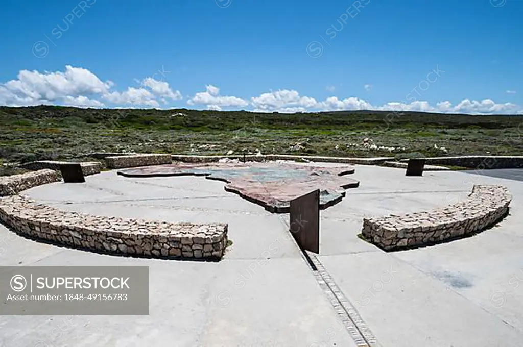
Map of Africa at Cape Agulhas, Cape of Needles, southernmost point of Africa and border between the Atlantic and Indian Oceans, Western Cape Province, South Africa, Africa
SuperStock offers millions of photos, videos, and stock assets to creatives around the world. This image of Map of Africa at Cape Agulhas, Cape of Needles, southernmost point of Africa and border between the Atlantic and Indian Oceans, Western Cape Province, South Africa, Africa by Guenter Lenz/imageBROKER is available for licensing today.
DETAILS
Image Number: 1848-49156783Royalty FreeCredit Line:Guenter Lenz/imageBROKER/SuperStockCollection:imageBROKER Contributor:Guenter Lenz Model Release:NoProperty Release:NoResolution:8256×5493
Free Research
Can't find the usage you need?
We're here to help!
Phone:+1 866 236 0087
Email: help@superstock.com
or fill out a Contact Form
Research / License Request Form
Can't find the usage you need?
We're here to help!
Phone:
or fill out a Contact Form
Research / License Request Form
Retouching Services
Our MediaMagnet division offers comprehensive retouching services at great rates. For a free quote, please send us an e-mail and we'll get back to you promptly.
Email: Retouching Service
Our MediaMagnet division offers comprehensive retouching services at great rates. For a free quote, please send us an e-mail and we'll get back to you promptly.
Email: Retouching Service