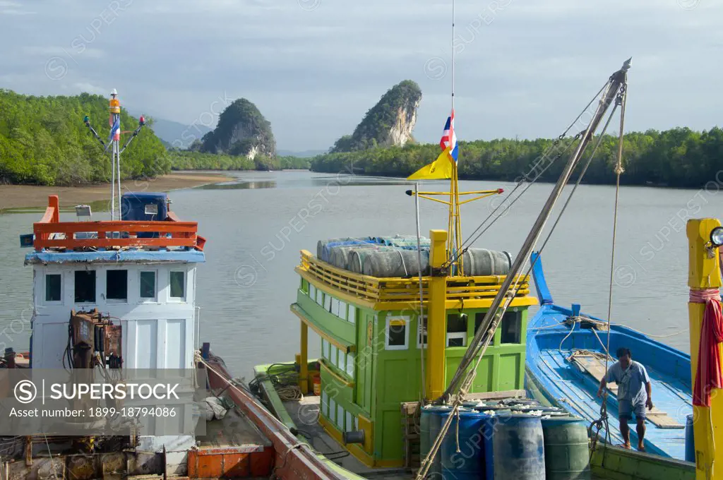
Once a simple fishing harbor, Krabi is becoming an eco-tourism center, as well as the main ferry embarkation point for islands such as Ko Lanta to the south, Ko Phi Phi to the southwest, and the beaches around Ao Nang to the west. Set on the banks of the Krabi Estuary, the town is said to take its name from a sword or krabi allegedly discovered nearby. Krabis surroundings are distinguished by towering limestone outcrops, a kind of Phang Nag Bay on land, and these have become the symbol of Krabi Province. Among the most notable are Khao Khanap Nam, twin limestone peaks, which stand like sentinels at each side of the Krabi River. To the east, the town is hemmed in by mangrove-lined shorelines.
SuperStock offers millions of photos, videos, and stock assets to creatives around the world. This image of Once a simple fishing harbor, Krabi is becoming an eco-tourism center, as well as the main ferry embarkation point for islands such as Ko Lanta to the south, Ko Phi Phi to the southwest, and the beaches around Ao Nang to the west. Set on the banks of the Krabi Estuary, the town is said to take its name from a sword or krabi allegedly discovered nearby. Krabis surroundings are distinguished by towering limestone outcrops, a kind of Phang Nag Bay on land, and these have become the symbol of Krabi Province. Among the most notable are Khao Khanap Nam, twin limestone peaks, which stand like sentinels at each side of the Krabi River. To the east, the town is hemmed in by mangrove-lined shorelines. by Pictures From History/Universal Images is available for licensing today.
Looking for a license?
Click here, and we'll help you find it! Questions? Just ask!
Click here, and we'll help you find it! Questions? Just ask!
DETAILS
Image Number: 1899-18794086Rights ManagedCredit Line:Pictures From History/Universal Images/SuperStockCollection:Universal Images Contributor:Pictures From History Model Release:NoProperty Release:NoResolution:5100×3388