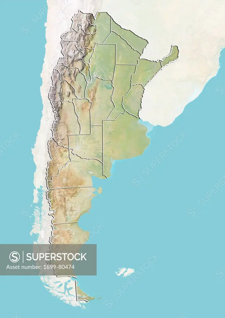
Relief map of Argentina with boundaries of provinces . This image was compiled from data acquired by LANDSAT 5 & 7 satellites combined with elevation data.
SuperStock offers millions of photos, videos, and stock assets to creatives around the world. This image of Relief map of Argentina with boundaries of provinces . This image was compiled from data acquired by LANDSAT 5 & 7 satellites combined with elevation data. by Universal Images is available for licensing today.
DETAILS
Image Number: 1899-80474Rights ManagedCredit Line:Universal Images/SuperStockCollection:Universal Images Model Release:NoProperty Release:NoResolution:3511×4961
Free Research
Can't find the usage you need?
We're here to help!
Phone:+1 866 236 0087
Email: help@superstock.com
or fill out a Contact Form
Research / License Request Form
Can't find the usage you need?
We're here to help!
Phone:
or fill out a Contact Form
Research / License Request Form
Retouching Services
Our MediaMagnet division offers comprehensive retouching services at great rates. For a free quote, please send us an e-mail and we'll get back to you promptly.
Email: Retouching Service
Our MediaMagnet division offers comprehensive retouching services at great rates. For a free quote, please send us an e-mail and we'll get back to you promptly.
Email: Retouching Service